
News you can use
News you can use
Wet winter helping with moisture received
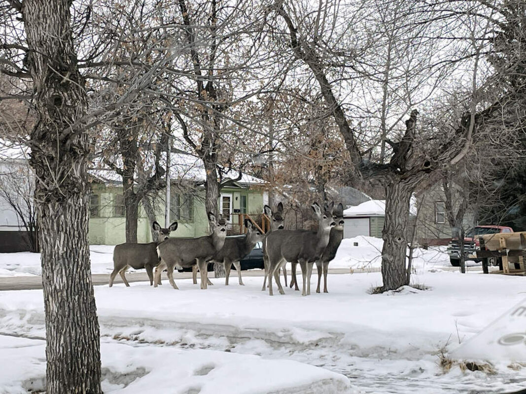
Deer stand in the snow on the 600 Block of Seventh Avenue.
The storm that came through the region Wednesday did not dump as much snow as predicted - Data for Havre was missing on the National Weather Service website when this article was written Thursday but it was nowhere near the 5 inches to 8 inches predicted, with up to 10 inches forecast for the mountains - but it has added to a wet, cold winter the area has seen so far.
Weather Service data, which does not include Wednesday's precipitation, shows Havre at 60.1 inches of snow since July 1, closing in on double the normal amount of 35.4 inches.
December may have seen a record snowfall since the information started being recorded for Havre with 32.7 inches of snow in December, more than four times the normal amount of 7.9 inches for the month, and possibly a new record for Havre, National Weather Service said the previous record was set in 1936 at 27 inches, although the snowfall last month had not been officially recorded as a record in January due to missing data.
Havre had a single-day record snowfall Dec. 28 with 5.5 inches and a record 6.7 inches both Dec. 17 and 18.
For the snow year starting July 1, Havre has recorded 40 inches even, following another cold, snowy month in November.
That month, the area went from a warm Halloween - Havre recorded a high of 66 Halloween Day, Oct. 31, and 65 Nov. 1 - snow fell and temperatures plummeted, with several days of sub-zero lows.
Havre hit a low of minus 18 Nov. 12, with the high that day of 13 degrees.
And cold continued in much of December, along with the snow. Dec. 18, the high was 1 degree with the high Monday minus 6 and the low minus 27.
The cold continued until Christmas, when the area warmed up - Havre had a high of 45 but then got cold again for a week.
Dec. 23 saw the coldest temperature in the state at minus 38, but it warmed to 9 below zero the morning of Dec. 24 and shot to 45 degrees Christmas day.
The weather turned closer to normal the first week of January, though a bit chilly early in the week with highs in this area mostly in the teens and 20s, but warmed up again a bit Saturday and Sunday.
Havre had a high of 25 Jan. 7, though it dropped to 2 degrees for a low, but had a balmy high of 32 degrees the next day, a bit warmer than the normal value for Jan. 8 of 28 degrees.
The next week saw dangerous driving conditions in the region with wide swaths of freezing rain.
But it warmed up that weekend, with warmer temperatures dominated the area over the weekend - Havre had a high of 42 Saturday with it hitting 35 by 6:13 a.m. and a high Sunday of 41 with it dropping to just below freezing - 29 degrees - just before midnight.
After the snowy Decembers, a blanket of snow and ice become a near constant feature of the local landscape, but by mid-February, the sheet had been slowly melting as milder weather hit Havre.
The National Weather Service recorded highs in the upper 30s and low 40s in this region for most of the month, with lows fluctuating between single digits and upper 20s, sometimes lower 30s.
Snow depth was listed in Havre at four inches on the first of the month, reducing to 3 inches by Feb. 4, 2 inches Feb. 6, 1 inch Feb. 11, and zero inches Feb. 13, a day with a high of 44 degrees and a low of 30.
That changed the third week of February when a heavy snowstorm hit, with, between Monday and Tuesday, that number jumping from 0 inches to 6 inches, with 1.3 dropping Monday and 4.4 Tuesday.
The high in Havre dropped to 22 Tuesday and a low was minus 2, down from a Monday high of 32 and low of 21 and a Sunday high of 41 and low of 28. the temperature continued to drop, with Havre listed at minus 8 at 9:30 a.m. Feb. 22.
And the weather continued to vary before the storm this week. Last week, In Havre, National Weather Service reported a storm left nearly 7.2 inches of new snow, with a near-record 5.2 inches Friday. The record for Havre March 10 was set in 1921 at 5.6 inches.
Temperatures were cold, with Thursday's high for Havre 17 and the low was 1 degree, while Saturday saw a high of 22 and a low of 4.
Sunday dropped to extremely unseasonably low temperatures, with Havre's high 17 and its low minus 9.
It warmed Tuesday, with Havre seeing a high of 42 and low of 11, but Tuesday's high in Havre was 30 degrees.
The forecast the next week is for highs in the 20s with lows in the single digits Thursday through Sunday but climbing into the teens next week.
The snow, even on-again off-again, has helped the moisture level locally.
Havre has gone to .38 inches of precipitation for the month, with the norm for Wednesday .2 inches.
For the calendar year, Havre was at 1.23 inches of precipitation with 1.101 inches the normal value.
And for the water year, which runs from Oct. 1 to Sept. 30, Havre was at 4.77 inches of precipitation, with the normal value 2.65 inches.

Reader Comments(0)