
News you can use
News you can use
Drought conditions may improve
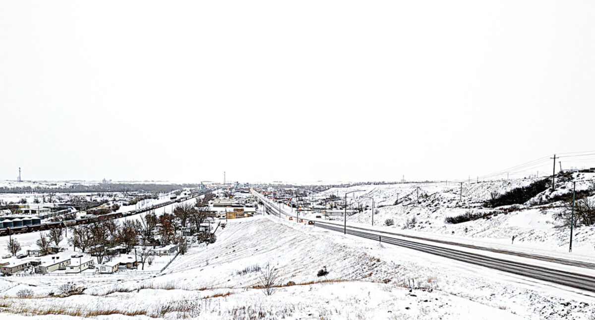
Snow blankets the Havre area under chilly, cloudy skies this morning.
After more extreme cold tonight, temperatures are expected to moderate in this region and even break the freezing point Saturday and Sunday, but the temperatures expected next week make it likely this week's snow will stay on the ground a while.
Even so, drought conditions - with the worst conditions in the state centered around Havre - are likely to persist although improve in the next few months, the U.S. Drought Monitor reports.
Temperatures in this region tonight are expected to drop to near 20 below zero or colder - Harlem is predicted to hit minus 23 - with highs Friday expected in the single digits or even below zero with lows in the single digits to teens below zero.
But the temperatures are expected to soar Saturday, with highs predicted from 26 in Chester to 31 in Hays and 32 in Big Sandy, and to get close to 40 Sunday.
But the forecast predicts highs in the area in the 20s next week, so the snow dumped in this region this week is likely to stay for a while.
National Weather Service reports that, through Wednesday night, the reporting station at the Havre City-County Airport had received 6.4 inches of snow this month, with about 5.8 inches of that this week.
Anecdotal reports indicate more snow may have fallen in Havre.
The snow shut things down Tuesday, with local schools reducing busing or closing for the day and numerous businesses and services also closing due to the weather.
People were having trouble driving in the fast-falling and drifting snow in this region. Havre police alone responded to 17 calls Tuesday requesting help with vehicles that were stuck.
While most of the first three weeks of February were relatively dry and warm - temperatures were hitting the 30s and 40s regularly - and the previous snow had pretty well melted off before this week, the recent storm has added to significant snowfall for the year.
December was snowy and cold most of the month - with some intermittent, short-lived chinooks - and may go down as Havre's snowiest on record with 32.7 inches.
Havre's normal December snowfall is 7.9 inches,
National Weather Service reports Havre has seen 44.9 inches of snowfall since Dec. 1 - the normal amount is 22.9 inches - and 52.2 inches since July 1, with the normal amount 31.5 inches.
That has helped put the area back into positive amounts for precipitation, with Havre now at .84 inches since Jan. 1 with the normal amount .74 inches.
For the water year, measured from Oct. 1 through Sept. 30, Havre has seen 4.38 inches compared to a normal value of 2.28 inches.
But the region has a long way to go to make up for several years of moisture deficits. In Havre, for example, Weather Service reports that, from Jan. 1, 2018, to Feb. 14, 2023, the latest date available, Havre is more than 8 inches short of normal, with 28.04 inches of precipitation with the normal value 36.09.
That is greatly improved over a few months ago, however, with the figures in December showing Havre nearly 10 inches short.
But drought persists in the region, though the snowfall may help.
Blaine County is in the center of a T-shaped region of extreme drought that extends into Hill, Phillips and Fergus counties, with severe drought along much of northern Montana about from the Rocky Mountains to North Dakota. Most of the rest of the state is in moderate drought or is listed as abnormally dry.
But the National Weather Service Climate Prediction Center shows the snow may help with that.
Most of the region listed as in extreme or severe drought is expected to improve through May, with a large surrounding portion listed as having "drought removal likely."

Reader Comments(0)